-40%
1899 Historic Map Mormon Pioneers Route 5"x16" bird-eye view Art Poster Print
$ 6.6
- Description
- Size Guide
Description
Map: Route of the Mormon Pioneersfrom Nauvoo to Great Salt Lake
Detailed Specifications
This is a reproduction of the original map
Map Size: 5"x16"
This Map Comes in another Size too:
16"x50"
You can find it and more
Religious Posters
in
Our Store
We have more
Religious Maps,
you can find them in
Our Store
All Our Posters and Maps Are Made in the USA
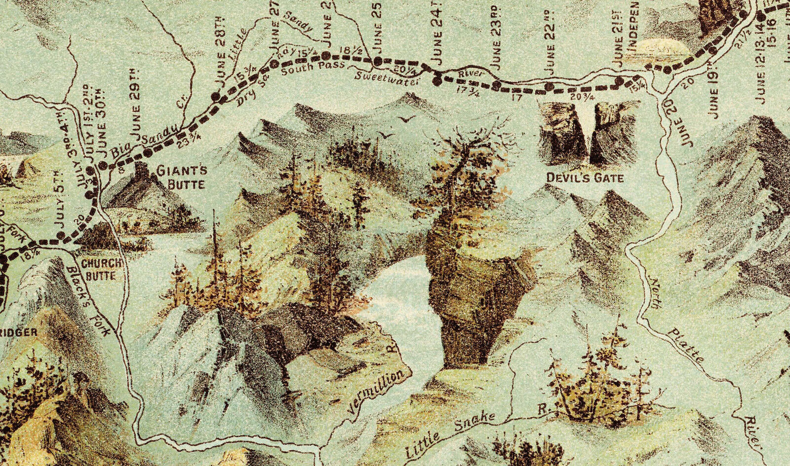
Panoramic bird-eye view map of the 1,300 mile Mormon Trail of the region between
the Mississippi River and the Great Salt Lake, illustrating the overland trek of
the Mormons in 1846 and 1847.
Seeking to escape harassment, the Mormons left their embattled settlement in
Nauvoo, Illinois, in Feb 1846, reaching their destination in the Valley of the
Great Salt Lake a year later, July 1847.
This map charts the Saints progress across the midwest and plains with four
vignettes showing a wagon train, a group of tepees, a buffalo herd, and numerous
other scenes from the journey.
Each campsite along the route is noted with the dates which the emigrant party
stayed at each site.
A remarkable depiction of one of the great episodes in American history, produced
to commemorate the 50th anniversary of the journey.
This map comes with a white border around the image
---------------------------
-How are the prints shipped?
They are rolled and placed into a rigid tube.
-Is this available in a larger/smaller size.
Yes. For smaller or larger sizes, email us.


